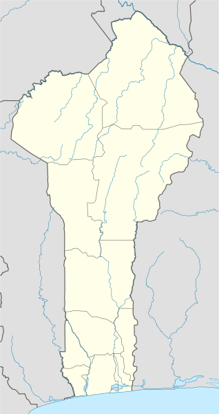
Fil:Benin location map.svg

Storleken för denna PNG-förhandsvisning av denna SVG-fil: 318 × 599 pixlar. Andra upplösningar: 127 × 240 pixlar | 255 × 480 pixlar | 408 × 768 pixlar | 544 × 1 024 pixlar | 1 087 × 2 048 pixlar | 828 × 1 559 pixlar.
Originalfil (SVG-fil, standardstorlek: 828 × 1 559 pixlar, filstorlek: 338 kbyte)
Filhistorik
Klicka på ett datum/klockslag för att se filen som den såg ut då.
| Datum/Tid | Miniatyrbild | Dimensioner | Användare | Kommentar | |
|---|---|---|---|---|---|
| nuvarande | 2 januari 2009 kl. 21.28 |  | 828 × 1 559 (338 kbyte) | NordNordWest | |
| 2 januari 2009 kl. 21.17 |  | 828 × 1 559 (310 kbyte) | NordNordWest | {{Information |Description= {{de|Positionskarte von Benin}} Quadratische Plattkarte. Geographische Begrenzung der Karte: * N: 12.6° N * S: 6.0° N * W: 0.6° O * O: 4.1° O {{en|Location map of Benin}} Equirectangular projecti |
Filanvändning
Följande sidor länkar till den här bilden:
Global filanvändning
Följande andra wikier använder denna fil:
- Användande på af.wikipedia.org
- Användande på am.wikipedia.org
- Användande på an.wikipedia.org
- Användande på ar.wikipedia.org
- Användande på ast.wikipedia.org
- Användande på azb.wikipedia.org
- کوتونو
- چائورو، بنین
- ابومی-کالاوی
- کوپارقو
- آی-آیس
- آپلاهویه، بنین
- باسیلا، بنین
- ادجا-اوره
- کاوه، بنین
- دوقبو-توتا، بنین
- سقبانا، بنین
- پاراکو، بنین
- بوهیکون، بنین
- بانیکورا، بنین
- ساکته، بنین
- پوبه، بنین
- جوقو، بنین
- آلادا، بنین
- دالی، بنین
- اویده، بنین
- بمبرکه، بنین
- نیکی، بنین
- ناتیتینقو، بنین
- مالانویله، بنین
- قراند پوپو، بنین
- بانته
- ساوالو، بنین
- لوکوسا، بنین
- اقبانقنیزون
- ساوه، بنین
- آتیمه، بنین
- کتو، بنین
- داسا-زومه، بنین
- کومه، بنین
Visa mer globalt användande av denna fil.

