Fil:Colombia location map.svg

Storleken för denna PNG-förhandsvisning av denna SVG-fil: 512 × 579 pixlar. Andra upplösningar: 212 × 240 pixlar | 424 × 480 pixlar | 679 × 768 pixlar | 905 × 1 024 pixlar | 1 811 × 2 048 pixlar.
Originalfil (SVG-fil, standardstorlek: 512 × 579 pixlar, filstorlek: 1,07 Mbyte)
Sammanfattning
| Beskrivning |
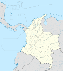
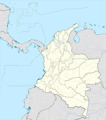
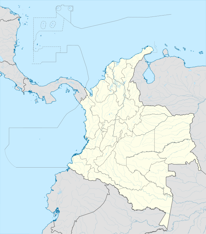
English: Location map of Colombia
Equirectangular projection. Geographic limits of the map:
|
| Datum | |
| Källa | Eget arbete (Original text: own work, using Demis data) |
| Skapare | Milenioscuro |
| Andra versioner |
Derivative works of this file: Bajo Nuevo Colombia location.png
|
| SVG utveckling | Den här W3C-ogiltig Det karta skapades med Adobe Illustrator |


.svg)

Licensiering
Milenioscuro, upphovsrättsinnehavaren av detta verk, publicerar härmed det under följande licens:
Denna fil har gjorts tillgänglig under licensen Creative Commons Erkännande-Dela Lika 3.0 Generisk
Erkännande: Milenioscuro
- Du är fri:
- att dela – att kopiera, distribuera och sända verket
- att remixa – att skapa bearbetningar
- På följande villkor:
- erkännande – Du måste ge lämpligt erkännande, ange en länk till licensen och indikera om ändringar har gjorts. Du får göra det på ett lämpligt sätt, men inte på ett sätt som antyder att licensgivaren stödjer dig eller din användning.
- dela lika – Om du remixar, transformerar eller bygger vidare på materialet måste du distribuera dina bidrag under samma eller en kompatibel licens som originalet.
| Annotations | This image is annotated: View the annotations at Commons |


Filhistorik
Klicka på ett datum/klockslag för att se filen som den såg ut då.
| Datum/Tid | Miniatyrbild | Dimensioner | Användare | Kommentar | |
|---|---|---|---|---|---|
| nuvarande | 22 februari 2022 kl. 22.17 | | 512 × 579 (1,07 Mbyte) | Milenioscuro | standard colors |
| 1 december 2017 kl. 13.10 |  | 2 027 × 2 294 (1,37 Mbyte) | Milenioscuro | limits | |
| 1 december 2017 kl. 13.00 |  | 2 027 × 2 294 (1,37 Mbyte) | Milenioscuro | more visible limits | |
| 28 januari 2014 kl. 07.48 |  | 2 027 × 2 294 (1,39 Mbyte) | Milenioscuro | correction of departamental, international and maritime boundaries, courses of rivers, coastline, and line thickness | |
| 29 maj 2012 kl. 19.01 |  | 2 007 × 2 298 (1,07 Mbyte) | Milenioscuro | correction of some departamental borders | |
| 26 mars 2012 kl. 20.58 |  | 2 007 × 2 298 (1,08 Mbyte) | Milenioscuro | correction of international borders, added layers, rivers, etc | |
| 17 november 2011 kl. 10.12 |  | 2 007 × 2 298 (1,04 Mbyte) | Milenioscuro | simplification of rivers, correction of some borders | |
| 3 november 2009 kl. 01.48 |  | 2 007 × 2 298 (1,14 Mbyte) | Milenioscuro | thick boundaries of departments | |
| 1 november 2009 kl. 11.10 |  | 2 007 × 2 298 (1,15 Mbyte) | Milenioscuro | Adjusted to match style of location maps 2008 | |
| 26 oktober 2009 kl. 09.30 |  | 2 268 × 2 676 (1,4 Mbyte) | Milenioscuro | maritime boundaries |
Filanvändning
Följande sidor länkar till den här bilden:
Global filanvändning
Följande andra wikier använder denna fil:
- Användande på af.wikipedia.org
- Användande på als.wikipedia.org
- Användande på an.wikipedia.org
- Användande på ar.wikipedia.org
- Användande på ast.wikipedia.org
- Bogotá
- Cali
- Estadiu Doce de Octubre
- Puerto Colombia (Guainía)
- González (Cesar)
- Estadiu Deportivo Cali
- Módulu:Mapa de llocalización/datos/Colombia
- Ríu Magdalena
- Capitoliu Nacional de Colombia
- Comisión Colombiana del Espaciu
- Nevado del Ruiz
- Módulu:Mapa de llocalización/datos/Colombia/usu
- Barranquilla
- Cartagena de Indias
- Estadiu Metropolitanu Roberto Meléndez
- Palenque de San Basilio
- Copa América 2001
- Sierra de Chiribiquete
- Inírida
- Aeropuertu Internacional El Dorado
- Casa d'Adoración Norte del Cauca
- Aeropuertu Guaymaral
- Aeropuertu Internacional Alfonso Bonilla Aragón
- Aeropuertu Internacional Alfredo Vásquez Cobo
- Aeropuertu Internacional Camilo Daza
- Aeropuertu Internacional El Edén
- Aeropuertu Internacional Ernesto Cortissoz
- Aeropuertu Internacional Gustavo Rojas Pinilla
- Aeropuertu Internacional José María Córdova
- Aeropuertu Internacional Matecaña
Visa mer globalt användande av denna fil.